
There are a range of options for finding cycle routes in the borough of Hammersmith and Fulham.
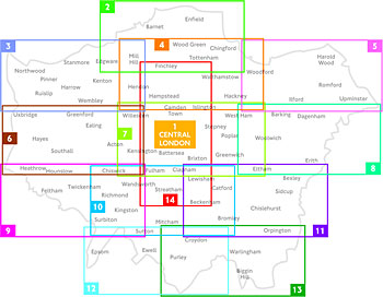
Transport for London provide regularly revised free maps of London which highlight cycle lanes, quieter roads and greenways, cycle superhighways and cycle hire docking stations. No map perfectly covers the borough, but maps 6 and 7 cover the Shepherds Bush, Hammersmith and Fulham well in combination along with the neighbouring areas of Action, Chiswick, Hounslow and beyond in map 6 and all the way through Kensington and Chelsea into Central London in map 7. You can order up to 6 maps in any combination from TfL on a web form, more by email. We try and have copies with us at major events we attend.

Cyclestreets provide an online journey planner service which also has the ability to let you place photos onto the map. This service is placed on top of the OpenCycleMap layer of OpenStreetMap and contains much of the London Cycle Network detail in an interactive form.
And you can also download a PDF from 2006 on the council’s website.