
Our ask in the Wormholt and White City ward of Hammersmith and Fulham proposes:
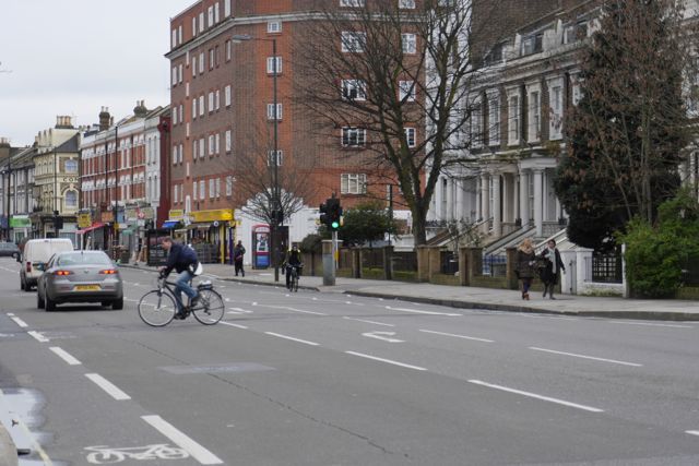
 Safe Routes to Schools over Uxbridge Road and on key side streets
Despite Uxbridge Road being wide, and many surrounding streets being calmed only a few pedestrian crossings have been used to create poor crossings for cyclists. We believe strongly designed junctions should be made to make crossing Uxbridge Road by bike easier for all along with further measures on side streets to radically improve conditions for cycling to school in this area.
![]()
You can support this ask on the main Space For Cycling site, or look at our full campaign promoting Space For Cycling in Hammersmith and Fulham. Or you can read on for our supporting evidence.
Supporting statistics for this proposal
For each of the wards we have combined a series of local statistics on traffic, the use of the local area and air quality to give an idea of the current situations in numerical terms. Each of these are presented in standard tables, followed by some commentary. We’ve attempted to summarise statistics in years between elections, which means the latest statistics are only for three years rather than four (highlighted by a *).
| KSI by mode | 2010-12* | 2006-09 | 2002-05 |
| Cycle | 0 | 2 | 2 |
| Pedestrian | 2 | 5 | 4 |
| Vehicle | 3 | 7 | 11 |
KSI is the sum of deaths and serious injuries from collisions. In this ward things look like they are going the right way, but that means that it is plausible to start targeting zero given that it covers predominantly residential streets away from main roads.
There are no DfT count points in this ward so we are unable to comment on trends in traffic.
There are 5 schools in this ward with a total of 1890 pupils.
| Air Quality (ug/m3 annual mean) | 2008 | 2011 | 2015 Target | 2011 achieved |
| PM10 | 20.22 | 19.22 | -31% | -5% |
| NOx | 73.04 | 61.29 | -35% | -16% |
| NO2 | 41.14 | 37.21 | N/A | -10% |
Air quality in this ward has come inside the EU limit for NO2 (40 ug/m3) in recent years. Reductions in PM10 by 2011 make reaching the 2015 target doubtful.
| Census | 2011 | 2001 | Change |
| Cars/Vans | 2473 | 2756 | -283 |
| Cars/Vans per 1000 people | 251 | 317 | -66 |
| Households | 5023 | 4797 | 226 |
| with no access to car/van | 2922 | 2568 | 354 |
| % | 58% | 54% | 5% |
In the most recent census we can see that there has been a decline of 283 in cars and vans owned in this ward. 58% of households have no access to a car or van.
| Journey to Work | 2011 | 2001 | Change |
| Residents counted | 9842 | 8696 | +1146 (+13%) |
| Not employed | 4033 (41%) | 3973 (45.7%) | +60 (+2%) |
| Homeworker | 487 (4.9%) | 419 (4.8%) | +68 (+16%) |
| Commuting residents | 5322 (54.1%) | 4304 (49.5%) | +1018 (+24%) |
| Bicycle | 346 (6.5%) | 241 (5.6%) | +105 (+44%) |
| On foot | 713 (13.4%) | 584 (13.6%) | +129 (+22%) |
| Motorbike/moped | 91 (1.7%) | 64 (1.5%) | +27 (+42%) |
| Car/van driver | 832 (15.6%) | 1001 (23.3%) | -169 (-17%) |
| Car/van passenger | 47 (0.9%) | 72 (1.7%) | -25 (-35%) |
| Tube | 1779 (33.4%) | 1412 (32.8%) | +367 (+26%) |
| Train | 344 (6.5%) | 209 (4.9%) | +135 (+65%) |
| Bus | 1136 (21.3%) | 675 (15.7%) | +461 (+68%) |
| Taxi | 13 (0.2%) | 22 (0.5%) | -9 (-41%) |
| Other | 21 (0.4%) | 24 (0.6%) | -3 (-13%) |
The census shows modest changes in car use again with 17% fewer residents commuting by car. The greatest percentage increase has been in using the train, strangely – perhaps due to the Shepherd’s Bush Overground station. Cycling is increasing modestly and only 346 residents cycle to their work.